3D survey and modeling of 22 metro stations for lighting installation

To improve the reliability of lighting fixture production and installation, we created digital models of the 22 stations on line 4 of the Paris Metro, using a “scan to BIM” process for accurate and efficient planning.

As part of a project to cover cable trays and lighting for metro stations on line 4 in Paris, My Digital Buildings was commissioned by a design office to digitize the 22 stations concerned. The design office, responsible for the design and installation of the luminaires, needed to visualize the infrastructures in place, with particular attention to cable trays and electrical networks, which are at the heart of the project.
The production of a 3D model and sectional plans of metro stations was then essential to effectively initiate this project, while having an overview and up to date of the infrastructures. The project involved both technical requirements related to the environment to be met and to the technicality of the lighting installation project.
Indeed, digital models had to be used to optimize the positioning and production of cable tray and light fixtures, but also to ensure that the proposed lighting solutions were integrated into existing technical spaces.

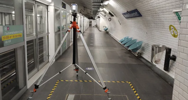
Survey of the 22 stations: night work requiring high precision
In order not to disturb travelers and to obtain quality 3D renderings, the survey operations took place exclusively at night, during the hours when the subway was closed.
We planned the interventions in an optimal way to cover each station quickly. By focusing particularly on electrical networks and cable trays, we were able to identify 3 to 4 stations per night.
To capture data that is particularly dense and adapted to modeling requirements, especially for electrical networks and high-rise structures, we used a scanner Leica RT360. The positioning the scanner on a tripod made it possible to identify high points with great precision, guaranteeing a point cloud of optimal quality for modeling.

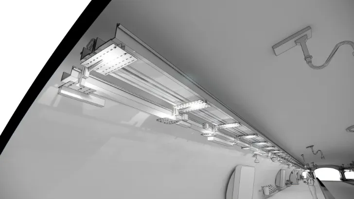
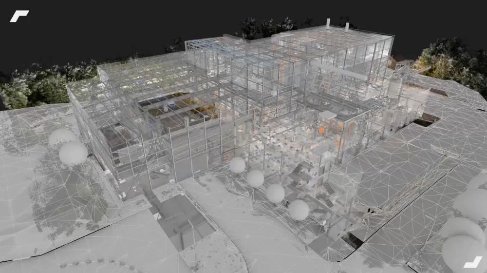
From the point cloud to the BIM model: a scan to BIM process
To model all of these metro stations, we followed a “scan to BIM” method. By following this process, the point cloud is used as a modeling layer directly in Revit, being presented as a section, or as a whole.
Based on the point cloud, a precise and exhaustive representation of reality, makes it possible to make the production of the model more reliable. Continuously during modeling, until quality control at the end of the project, the point cloud is compared to the 3D model. Thus, modeling errors and inaccuracies are greatly reduced.
Millimetric precision for custom manufacturing
The design office needed extremely accurate data to design and produce custom casings for cable trays and luminaires. It was then crucial to know the discrepancies and the exact position structural elements (hangers and omegas) in order to guarantee direct installation after manufacture.
Thanks to the point cloud, we were able to identify the exact position of the hangers and confirm the theoretical distance between them. This eliminated any design errors.. During the digitization of a first pilot station, the design office discovered a significant difference between the theoretical gap and the reality on the ground.
For making production more reliable of their parts, which required centimetric precision, digitization was extended to 22 metro stations.
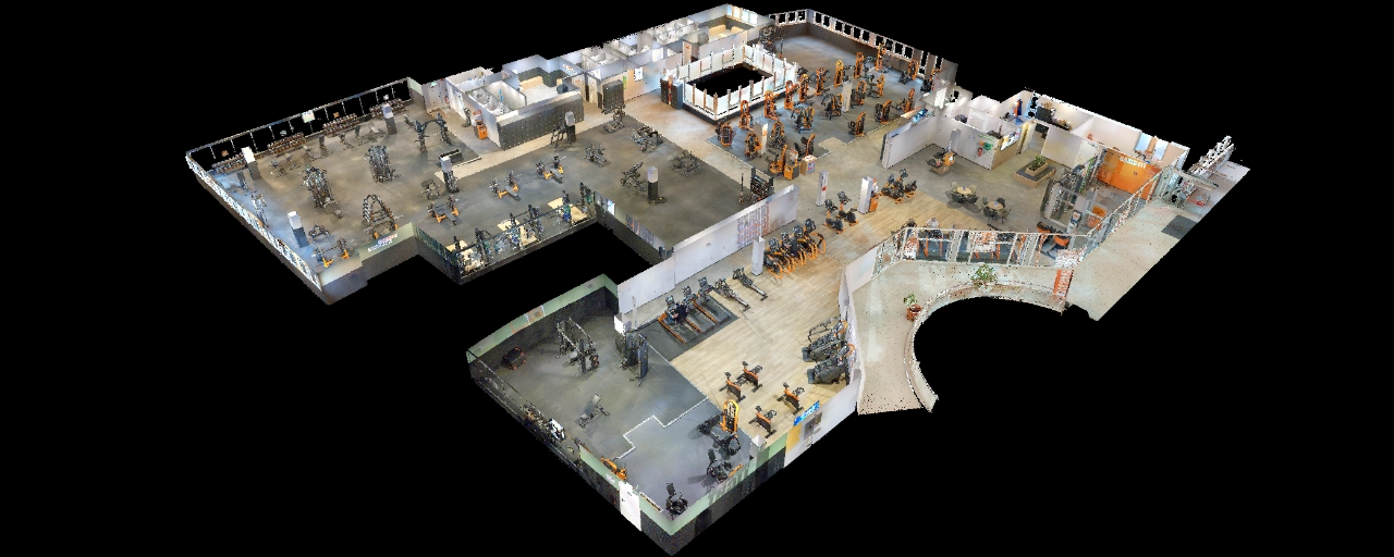
Achievement of an LOD 400 level of detail
To meet the various needs of the project, we adopted a targeted modeling approach. The structural envelope of the stations as well as the existing electrical networks were modelled at LOD 300, guaranteeing a coherent overview and making it possible to estimate precisely volumes and dimensions.
At the same time, the equipment that has a direct impact on the design and installation of the luminaires was modelled at LOD 400. This approach made it possible to provide a fine and comprehensive representation of critical infrastructures, guaranteeing centimetric precision essential for manufacturing and installation.

2D sections for a more complete vision
In addition to the 3D modeling work, My Digital Buildings also produced 2D cutting plans directly from the point cloud.
These cups offered the design office a complementary and in-depth vision subway stations. They served as an analysis support for the areas where the luminaries were located, thus complementing the use of 3D models.

Using the collected point cloud, we were able to identify the exact position of the existing cable tray suspension supports, and confirm or disprove the theoretical difference between them. This allowed the design office to avoid any design error and to make the production of their parts more reliable, for which centimetric precision was required.
After a pilot at a first station, highlights the importance of the survey and modeling phase, the digitization process was extended to the scale of the entire line.
Let's study your project together
Contact us, we will study your project to provide you with an estimate as soon as possible
Contact us


To make sure you don't miss out on our news, subscribe to our newsletter now!
Receive quarterly updates directly in your inbox to stay informed about the latest news and events at My Digital Buildings.


